Objectives
1. Develop the ability to correctly use ideas of spatial location – like front and back, left and right, up and down, inside and outside – in everyday situations, whether in the classroom or out and about.
2. Encourage spatial thinking and problem-solving skills through location references, which is important not just in Geography but in many aspects of daily life.
Contextualization
Did you know that being adept at navigating space is a key skill for many professionals such as architects, pilots, and even sports players? For example, architects use spatial concepts every day to design buildings that blend well with their surroundings. Similarly, a cricketer or a footballer relies on understanding the positions of teammates and opponents to plan strategies effectively. Hence, mastering the ideas of location and direction isn’t just about studying Geography – it also prepares you for practical challenges in everyday life.
Important Topics
Front and Back
Understanding 'front' and 'back' is essential to grasp the relative position of objects. In Geography, these terms help us describe the direction of an object with respect to the observer. For instance, when you stand before a building, the side closest to you is considered the front, and the opposite side is the back.
-
Front: The part facing the observer. For example, the main entrance of a school.
-
Back: The side opposite to the front, often not visible from your position. In the case of the school, it might be the area at the rear or the back garden.
Left and Right
The concepts of left and right describe the lateral positions of objects relative to a reference point. These are very useful for orientation and navigation, both in real-life situations and on maps. For example, when using a map, the north direction can serve as a reference to decide what lies to the left or right.
-
Left: The side to the left of the observer. For instance, if you are facing north and a building is to your left, it is towards the west.
-
Right: The side to the right of the observer. Similarly, if the building is on your right while facing north, it is towards the east.
Inside and Outside
These terms indicate whether an object or space is enclosed or not. They are often used in contexts such as design and construction. For example, when talking about a box, the space filled with items is 'inside', while the area beyond it is 'outside'.
-
Inside: Refers to the internal space of an object or structure. For example, inside a classroom.
-
Outside: Refers to the external area. For instance, the school courtyard in relation to the classroom.
Key Terms
-
Front and Back: Describes the position of an object relative to an observer, where 'front' is nearer and 'back' is farther away.
-
Left and Right: Lateral directions that help in locating objects relative to a chosen point, crucial for navigation and orientation.
-
Inside and Outside: Indicates whether an object is contained within another object or not, helpful in areas like interior design and space planning.
For Reflection
-
How would you use the concepts of left and right to describe the shortest route from your home to school?
-
Why is it important to follow instructions regarding inside and outside accurately in projects like construction?
-
In what ways can the ideas of front and back be used to better organize items in your room?
Important Conclusions
-
In this lesson, we explored important concepts of location and spatial orientation such as front and back, left and right, and inside and outside. These ideas not only form the core of Geography but also play a vital role in everyday activities like navigation and planning spaces.
-
Being able to understand and effectively use these concepts enhances our problem-solving skills and makes us more efficient in tasks like following directions, organizing spaces, and even playing games or sports.
-
Through interactive and engaging activities, you experienced firsthand how spatial references work in real life. We hope this helps reinforce your learning and shows you the practical importance of these skills.
To Exercise Knowledge
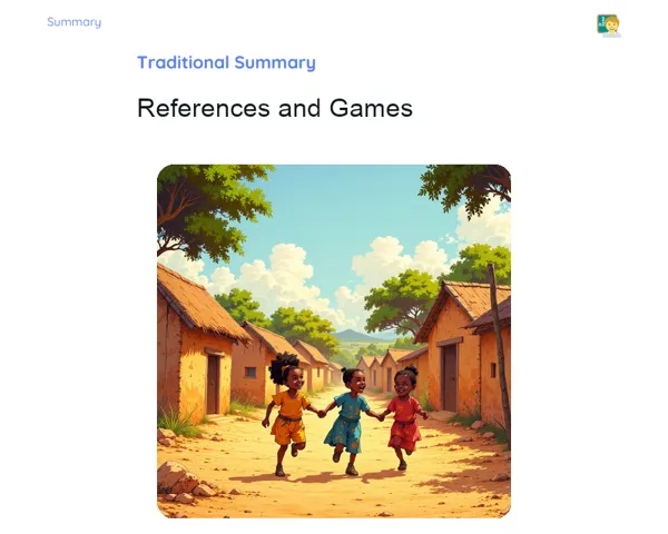
- Create Your Personal Map: Draw a map of your bedroom or living area at home. Mark out key pieces of furniture and objects, using terms like left and right to show their positions. 2. Virtual Treasure Hunt: Organise a treasure hunt with your family. Hide an object somewhere in the house and give clues using location references like 'next to the sofa' or 'behind the door'. 3. Fruit Explorer: In your kitchen, identify where different fruits are placed using directions such as front, back, left, and right. Describe each fruit’s location to a family member and see if they can guess correctly.
Challenge
Neighborhood Map Challenge: Draw a detailed map of your locality, noting important landmarks like parks, schools, and shops. Plot possible routes from your house to at least three different spots, using left and right directions to guide the way. Share your map with your family and explain your route choices!
Study Tips
-
Use map or GPS applications on your phone to explore how spatial references are used in digital navigation. Try following routes and notice how directions are described.
-
Practice by drawing and making small models of spaces, such as a room or a dollhouse, and use the location terms you’ve learned to describe the layout.
-
Play board games that involve navigation or orientation – games like 'Clue' can help you practice describing positions using spatial language.