Objectives
1. Analyze and compare endogenous and exogenous agents, focusing on their influences in shaping Earth's landscape.
2. Identify and discuss practical examples of geological formations formed by these agents, reinforcing theoretical understanding through real-world relevance.
Contextualization
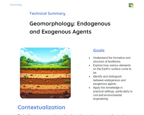
Did you know that the Grand Canyon in the USA serves as a colossal outdoor geological exhibition? This remarkable gorge, measuring over 1.6 km deep and up to 29 km wide, was sculpted by the Colorado River over countless years. The ongoing effects of water and wind, which are exogenous phenomena, have been integral to crafting this astonishing formation, highlighting the dynamic beauty of geological processes. Gaining insights into these internal and external agents is vital for interpreting Earth's past and forecasting how our planet will evolve moving forward.
Important Topics
Endogenous Agents
Endogenous agents, known as internal agents, are forces emanating from within the Earth, encompassing tectonic movements, volcanic activity, and earthquakes. These processes are responsible for the formation of mountains, basins, and geological faults. For instance, the tectonic plate movements are fundamental in forming mountain ranges like the Himalayas, a result of the collision between the Indo-Australian Plate and the Eurasian Plate that raised the world's tallest peaks.
-
Tectonic Plate Movement: Drives continental drift and the creation of mountain ranges.
-
Volcanism: The release of magma and gases to the Earth's surface, leading to the birth of islands, mountains, and plains.
-
Earthquakes: Sudden shifts along geological faults that can drastically change the landscape.
Exogenous Agents
Exogenous agents, including erosion and sedimentation, mold the Earth's surface by eroding and transporting sediments. Water, wind, ice, and human activities are key exogenous agents. For example, river water and rainfall cause erosion, sculpting valleys and plains, while wind moves and deposits sand, forming dunes.
-
Water Erosion: Resulting from rivers and rainfall, it carves out valleys and channels.
-
Wind Erosion: Transports sediments, creates dunes, and modifies the landscape.
-
Human Action: Activities like mining and deforestation can speed up erosion processes.
Relief Modeling
The modeling of relief is shaped by the complex interplay between endogenous and exogenous agents over millions of years. Grasping these processes is crucial for geologists and urban planners, as they inform resource distribution, natural disaster risks, and urban development. For instance, understanding how rivers influence landforms can aid in flood prevention and encourage sustainable management of flood-prone regions.
-
Influence on Biodiversity: Various landforms contribute to diverse habitats and species variety.
-
Urban Planning: Topography plays a critical role in the location and growth of cities.
-
Natural Risks: Understanding landforms is key to predicting and mitigating risks like landslides and floods.
Key Terms
-
Tectonic Plates: Massive segments of Earth's crust that float on the mantle; their interactions lead to earthquakes, volcanic eruptions, and mountain formation.
-
Erosion: The process of wearing away and transporting rock materials and soil via external forces.
-
Sedimentation: The settling of sediments that were transported by erosion, forming new layers of soil and rock.
For Reflection
-
How can a better understanding of endogenous and exogenous agents help in disaster management in your locality?
-
In what ways can geomorphology influence sustainable urban development?
-
Why is it important for Geography, Geology, and Environmental Engineering to work together in understanding relief formation processes?
Important Conclusions
-
We examined how both endogenous agents like tectonic activity and volcanoes and exogenous agents such as erosion and sedimentation contribute to shaping the Earth's relief.
-
We acknowledged the importance of these processes in forming significant geological features like mountains, valleys, and plains, and their implications for urban planning and disaster risk management.
-
We highlighted practical examples illustrating the real-world implications of these concepts, such as the Grand Canyon, a true testament to the enduring influence of exogenous agents over millennia.
To Exercise Knowledge
- Create a concept map linking various endogenous and exogenous agents with the formations they create. 2. Select a geographical region and research the impact of geomorphological processes on its development. 3. Maintain a field journal during a trip or around your own city, noting instances of endogenous and exogenous agents at work.
Challenge
Conduct a simple experiment at home to demonstrate valley formation through water erosion. Use a tray filled with soil or sand, water, and a slanted surface to observe the changes over several days. Keep a daily record of transformations and speculate on how your 'valley' will evolve.
Study Tips
-
Use videos and documentaries on geological formations for a clearer understanding of the concepts discussed in class.
-
Engage in online discussion groups or forums to share experiences and clarify queries regarding geomorphology.
-
Try explaining the concepts you’ve learned to a friend or family member; teaching is an effective method to reinforce your understanding.