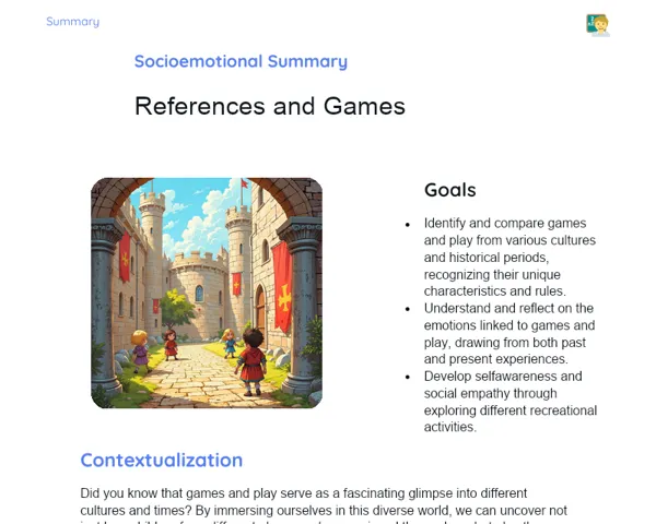
Goals
1. Appreciate the significance of map scales in reading and understanding maps.
2. Identify and utilise different types of map scales (numerical and graphical).
3. Gain practical skills to measure distances and interpret geographical information on maps.
Contextualization
Map scales are vital tools for depicting large geographical areas in a user-friendly manner. They transform extensive territories into manageable information. Whether plotting a trip, designing a city, or studying a country's geography, map scales play an essential role. They make vast amounts of geographical information easily digestible for everyone. Imagine a civil engineer or an urban planner attempting to develop infrastructure without map scales — it would be quite a daunting task!
Subject Relevance
To Remember!
Concept of Map Scales
Map scales provide a way to portray large geographical areas on a map in a more compact and comprehensible format. They establish the relationship between measurements on the map and the actual dimensions in the real world.
-
Allow representation of vast areas in smaller, more accessible formats.
-
Simplify the analysis and interpretation of geographical information.
-
Are critical for accuracy when reading maps.
Types of Scales
There are two primary types of map scales: numerical scale and graphical scale. The numerical scale is presented as a ratio (like 1:100,000), while the graphical scale is shown through a graduated bar that indicates real distances.
-
Numerical Scale: Expressed as a ratio, e.g., 1:100,000.
-
Graphical Scale: Shown by a graduated bar.
-
Both types are useful for measuring distances and analysing maps.
Interpreting Scales on Real Maps
Interpreting scales on real maps entails reading and translating measurements from the map into their corresponding real-life measurements. This skill is crucial for the precise analysis of geographical distances and areas.
-
Converting map measurements to actual measurements.
-
Accurate assessment of distances and areas.
-
Essential for practical applications in urban planning and engineering.
Practical Applications
-
Urban Planning: Engineers and planners utilise map scales to design infrastructure projects and city layouts.
-
Logistics: Logistics professionals depend on scales to optimise transport and distribution routes.
-
GPS Systems: Navigation apps and GPS devices use scales to deliver accurate directions and calculate distances.
Key Terms
-
Numerical Scale: The proportional relationship between a measurement on the map and the real-world measurement, expressed as a ratio.
-
Graphical Scale: A visual representation of a numerical scale through a graduated bar indicating actual distances.
-
Map Interpretation: The process of reading and analysing maps, including scale conversion and the measurement of distances and areas.
Questions for Reflections
-
How can the skill of map interpretation be beneficial in various occupations?
-
In what ways can understanding map scales influence daily activities?
-
What challenges would arise in urban planning without the aid of map scales?
Create a Map of Your Classroom
In this mini-challenge, you'll create a detailed map of your classroom using a specified map scale.
Instructions
-
Pair up or form groups of three to complete the task.
-
Select a numerical scale to represent your classroom (for example, 1:50).
-
Use a ruler to measure the dimensions of the classroom and significant items (like desks, chairs, doors, etc.).
-
Transfer your measurements to a piece of paper, drawing a map according to the chosen scale.
-
Ensure you include all important elements and label the dimensions on the map.
-
Review the map in your pairs or groups, making any necessary adjustments.
-
Present the final map to the class, explaining your scale choice and any challenges you faced during the process.