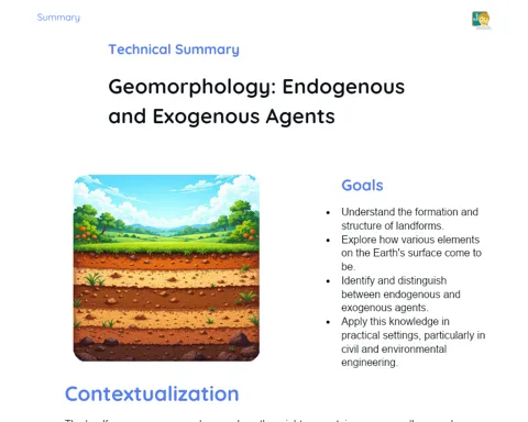
Goals
1. Grasp the significance of borders in territorial and social organization.
2. Recognize various types of borders and comprehend their establishment.
3. Cultivate practical skills in map reading and interpretation.
4. Consider the social and economic consequences of borders.
Contextualization
Borders are vital in shaping territories and defining social and economic interactions. They not only outline the physical boundaries of countries, states, and cities but also significantly influence the cultural, political, and economic aspects of the areas they separate. For example, the boundary between India and Pakistan is not just a line on a map; it deeply affects trade, culture, and social relations between the two nations. By understanding how borders are created and preserved, we can better fathom societal development and interactions.
Subject Relevance
To Remember!
Importance of Borders in Territorial and Social Organization
Borders are often seen as invisible lines that mark the limits of different territories, including countries, states, and cities. They are essential for organizing geographic space, establishing jurisdictional boundaries that define governance. Additionally, borders profoundly affect social and economic dynamics, shaping trade, politics, and culture.
-
Delimitation of Jurisdictions: Borders clarify where one government's authority ends and another's begins.
-
Economic Impact: Borders affect trade, tariffs, and economic accords.
-
Cultural Aspects: Borders can both separate and unite cultural and ethnic groups, shaping regional identity.
Types of Borders: Natural and Artificial
Borders can be classified as natural or artificial. Natural borders align with the physical features of the land like rivers, mountains, or forests. On the other hand, artificial borders are established through treaties or agreements, often without consideration for the natural landscape.
-
Natural Borders: These use physical features such as rivers and mountains to define territories.
-
Artificial Borders: Established through political agreements, potentially overlooking natural characteristics.
-
Historical Examples: The Radcliffe Line, which divided India and Pakistan, serves as an example of an artificial border created during British rule.
Historical and Political Processes in the Creation of Borders
The creation of borders often stems from intricate historical narratives and political decisions. Events like wars, treaties, and international negotiations play a pivotal role in defining or reconfiguring borders. Such processes not only influence political landscapes but also have lasting impacts on international relations and the lives of individuals in those regions.
-
Wars and Conflicts: Many borders come about or change as a result of wars and disputes.
-
Treaties and Agreements: International treaties often set new boundaries.
-
Political Changes: Shifts in power and revolutions can lead to the redrawing of borders.
Practical Applications
-
Logistics companies rely on detailed maps to plan routes effectively and navigate legal as well as geographical hurdles.
-
Urban planners take borders into account for infrastructure development and public policies.
-
International NGOs operate in border regions to mediate conflicts and foster cross-border collaboration.
Key Terms
-
Natural Borders: Territorial limits that adhere to physical features of the landscape.
-
Artificial Borders: Boundaries set by political treaties, not necessarily reflecting natural geography.
-
Cartography: The art and science of map-making, crucial for outlining and analyzing borders.
-
Geopolitics: The examination of geographical influences on international politics, often linked to border issues.
-
Social Dynamics: Interactions among social groups within a designated geographical area.
Questions for Reflections
-
How do borders shape the cultural identity of communities living adjacent to them?
-
In what ways can borders positively or negatively influence a region's economy?
-
What ethical and humanitarian challenges arise from maintaining and establishing borders?
Drawing Borders: A Creative Challenge
In this mini-challenge, you are invited to design a fictional map and establish your own borders based on various geographical, historical, and cultural elements.
Instructions
-
Gather a large sheet of paper, colored pencils, rulers, and other drawing supplies.
-
Sketch a fictional continent, incorporating major geographical features such as mountains, rivers, and deserts.
-
Define the borders between different nations and regions within your imagined continent.
-
Justify your border decisions, incorporating geographic, historical, and cultural considerations.
-
Present your map to the class, elaborating on the reasoning behind each border created.