Goals
1. Identify and understand the different types of landforms: mountains, plateaus, depressions, and plains.
2. Describe the composition and key characteristics of each type of landform.
Contextualization
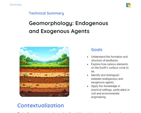
The landforms of our Earth are not just interesting features; they play a critical role in shaping human life and activities. From the stunning mountains that draw in trekkers and adventure seekers to the rich, fertile plains that support agriculture, each type of landform presents its unique traits and significance. Grasping these characteristics is essential for effective land usage, infrastructure planning, and environmental conservation. For instance, mountains can be treasure troves of minerals, plateaus offer a stable foundation for urban development, plains are ideal for agriculture due to their rich soils, and depressions can serve as crucial water storage areas.
Subject Relevance
To Remember!
Mountain
Mountains are natural uplifts of land, often rising more than 1,000 feet above their surroundings. They form primarily through tectonic processes, which include the shifting of tectonic plates, resulting in folding, faulting, and volcanic activity.
-
Formation: Result from tectonic activity and volcanic processes.
-
Characteristics: Steep inclines, high altitudes, and craggy peaks.
-
Importance: Source of minerals, tourist attractions, and biodiversity.
Plateau
Plateaus are elevated regions with broad flat surfaces and few steep slopes. Over millions of years, erosion and sediment processes contribute to their formation by wearing away surfaces and leaving behind sediment deposits.
-
Formation: Created through erosion and sediment build-up.
-
Characteristics: Generally flat or gently rolling surfaces with varied heights.
-
Importance: Stability for construction, geological significance, and agricultural use.
Depression
Depressions are lower areas relative to the surrounding land and can form from erosion or tectonic activities. They can be absolute depressions, lying below sea level, or relative depressions, which are situationally lower yet above sea level.
-
Formation: Result from erosion or tectonic shifts.
-
Characteristics: Sunken areas that might host lakes or wetlands.
-
Importance: Crucial for water storage, farming, and living spaces.
Plain
Plains are typically flat expanses with low elevations, primarily shaped by sediment deposited by rivers, wind, or tides. These areas are generally associated with fertile soils, making them perfect for agricultural and livestock activities.
-
Formation: Result from the build-up of sediments by rivers and winds.
-
Characteristics: Flat terrain, rich soil, and low elevation.
-
Importance: Vital for agriculture, grazing, and urbanization.
Practical Applications
-
Agriculture: Plains are extensively utilized for farming because of their fertile soil and ease of cultivation, such as the Ganges Plains in India.
-
Construction: Plateaus provide stability for urban development, with examples like Mumbai's skyline built on slight elevations.
-
Tourism: Mountains are sought-after destinations for adventurous activities like trekking, skiing, and eco-tourism. The Himalayas in India stand as a prime example.
Key Terms
-
Landform: The various shapes on the Earth's surface, including mountains, plateaus, depressions, and plains.
-
Mountain: Land upliftments with altitudes exceeding 1,000 feet.
-
Plateau: Elevated terrains with relatively flat surfaces.
-
Depression: Areas of lowered land, which may be situated below sea level.
-
Plain: Flat landscapes with low altitude formed through sedimentation.
Questions for Reflections
-
How can understanding the various landforms aid in urban planning and agricultural decisions?
-
In what ways do different landforms impact the biodiversity within a region?
-
What environmental challenges may arise from utilizing different landforms for economic activities, such as mining and agriculture?
Modeling and Analyzing Landforms
Create a three-dimensional model of a landform of your choice and present its characteristics and practical applications.
Instructions
-
Select one of the studied landforms: mountain, plateau, depression, or plain.
-
Utilize clay, modeling dough, or any available materials to construct your three-dimensional model.
-
Incorporate specific details that represent the main features of the landform, such as height, slope, and geological consistency.
-
Prepare a short presentation (around 3 minutes) explaining the features of your model and its real-world applications.
-
Share your presentation with the class, emphasizing the significance of the selected landform in agriculture, construction, or tourism.