
Lesson Plan: Map Skills in Belizean Studies
Objectives:
- Identify and describe different types of maps and their components.
- Develop skills in reading and interpreting maps.
- Understand and apply basic cartographic skills to create a map of Belize.
Materials:
- Various maps of Belize (physical, political, thematic)
- Whiteboard or projector
- Markers or pens
- Rulers
- Compasses
- Paper
- Colored pencils or markers
Lesson Duration: 45 minutes
Procedure:
-
Introduction (5 minutes)
- Begin by asking students where they come from, connecting their personal origins to the broader context of Belizean geography [i].
- Briefly discuss the importance of maps in understanding geographic locations and spatial relationships [i].
- State the objectives of the lesson [i].
-
Types of Maps and Map Components (10 minutes)
- Explain the different types of maps:
- Physical Maps: Show natural features like mountains, rivers, and forests.
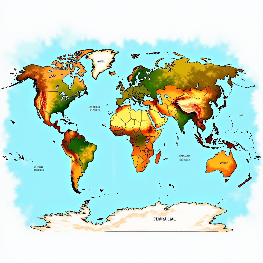
- Political Maps: Display boundaries, cities, and administrative divisions.

- Thematic Maps: Focus on specific topics such as population density, climate, or economic activities [i].

- Physical Maps: Show natural features like mountains, rivers, and forests.
- Detail the key components of a map:
- Title: Indicates the subject of the map.
- Legend (Key): Explains the symbols and colors used on the map.
- Scale: Shows the relationship between distances on the map and actual distances on the ground.
- North Arrow: Indicates the direction of north [i].
- Grid System (Latitude and Longitude): Helps to locate places on the map [i].
- Explain the different types of maps:
-
Reading and Interpreting Maps (15 minutes)
- Demonstrate how to read and interpret maps:
- Using the legend to understand symbols and colors.
- Using the scale to measure distances between locations.
- Identifying geographic features and their characteristics [i].
- Locating specific places using latitude and longitude [i].
- Map Reading Exercises:
- Distribute maps of Belize to the students.
- Ask questions that require students to use the map to find specific information, such as:
- "What is the capital of Belize?"
- "Which rivers are located in the northern part of the country?"
- "What is the approximate distance between Belize City and Belmopan?"
- Demonstrate how to read and interpret maps:
-
Basic Cartographic Skills (10 minutes)
- Explain basic cartographic skills:
- Map Projection: Transforming the spherical Earth onto a flat surface.
- Symbolization: Using symbols to represent real-world features [i].
- Generalization: Simplifying map features for clarity [i].
- Guide students on how to create a simple map:
- Choosing a suitable scale.
- Selecting appropriate symbols and colors.
- Adding a title, legend, and north arrow [i].
- Explain basic cartographic skills:
-
Conclusion and Homework Assignment (5 minutes)
- Review the main points of the lesson [i].
- Homework Assignment:
- Instruct students to create a map of Belize showing major geographic features such as rivers, mountains, and cities. They should include a title, legend, scale, and north arrow [i].
- Encourage students to use colored pencils or markers to make their maps visually appealing [i].
Assessment:
- Observe student participation during map reading exercises.
- Evaluate the accuracy and completeness of the maps created for homework.
Differentiation:
- Provide simplified maps and questions for students who need additional support.
- Challenge advanced students to create thematic maps focusing on specific aspects of Belizean geography.
This lesson plan provides a structured approach to introducing 8th-grade students to map skills within the context of Belizean Studies. By combining expository teaching with practical exercises, students will develop a solid foundation in reading, interpreting, and creating maps.