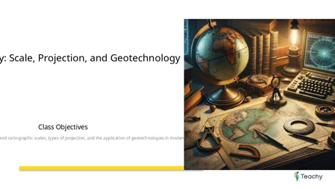
Lesson: Cartography: Scale, Projection, and Geotechnology
Lara
Objectives
Pre-lesson
Book
Cartography: Scale, Projection, and Geotechnology | Book Chapter
-

Video
Cartography - Maps and Scale - Fundamentals of Geography
External
-
Introduction
Begin the lesson by engaging students with questions about their everyday interactions with maps. Encourage them to consider how maps are used in various aspects of their lives.
Content Presentation
Presentation
Cartography: Scale, Projection, and Geotechnology Presentation
-
Activity Time
Review
Home Study Materials
Summary
Cartography Summary: Scale, Projection, and Geotechnology
-
Homework
Project
Cartography in Action: Our City to Scale
-
Need custom lessons for your students?
At Teachy, you can design and plan your lessons. Start creating now!
Those who saw this lesson also liked...

Lesson
De la production à la consommation
Lesson
Temps Historique
Lesson
Expressions Numériques
Lesson
Évolution
Join a community of teachers directly on WhatsApp
Connect with other teachers, receive and share materials, tips, training, and much more!
Reinvent teaching
Resources
2026 - All rights reserved